Photographer Camille Seaman, at Lens Culture, chasing storms acroos the American Midwest:
The United States has what I call the perfect playing fields. You have the jet stream dipping down and looping back up around Texas and Oklahoma, and warm, moist air pushing in from the Gulf of Mexico. When these collide, you can get rotation—different wind speeds at different elevations. Supercells are isolated individual storms—unlike a storm front or shelf. From a satellite they can look like a white circle, up to 50 miles wide and reaching up to 75,000 feet.
Traditionally, only about 2% of supercells produce a tornado. But as the Gulf of Mexico gets warmer and pushes more warm moist energy, we’re seeing more tornadoes, more outbreaks—hundreds in very short periods. And instead of touching down briefly, some are sustaining across states. That level of persistence and destruction feels new.
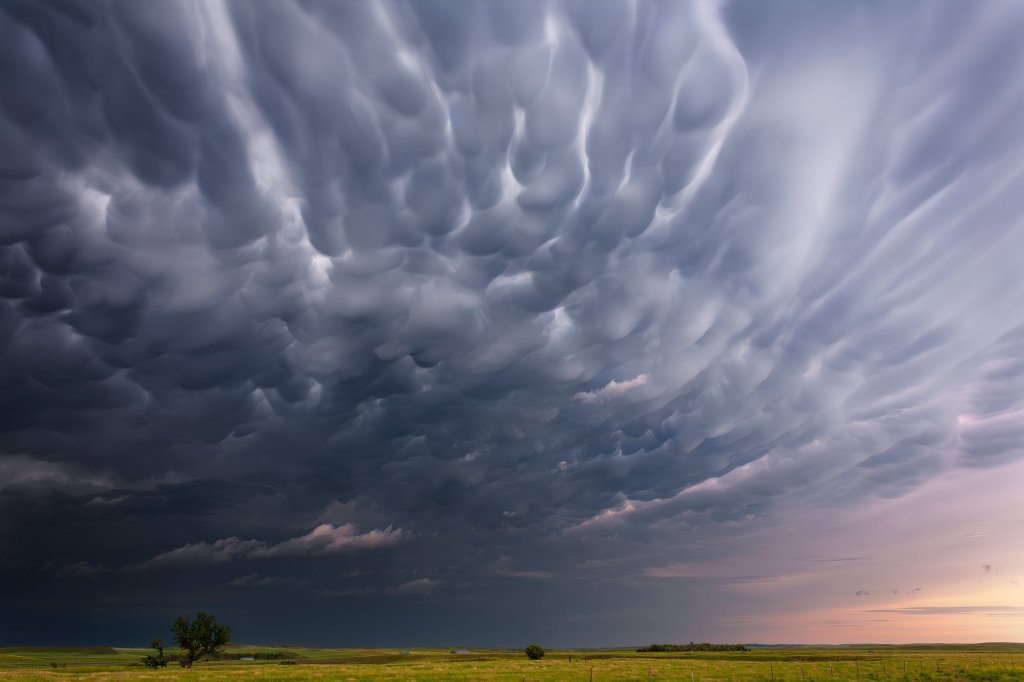
Mammatus Clouds IV – Nebraska, USA, June 2008
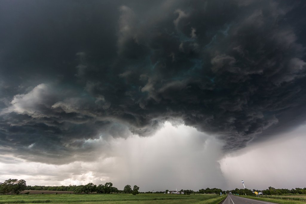
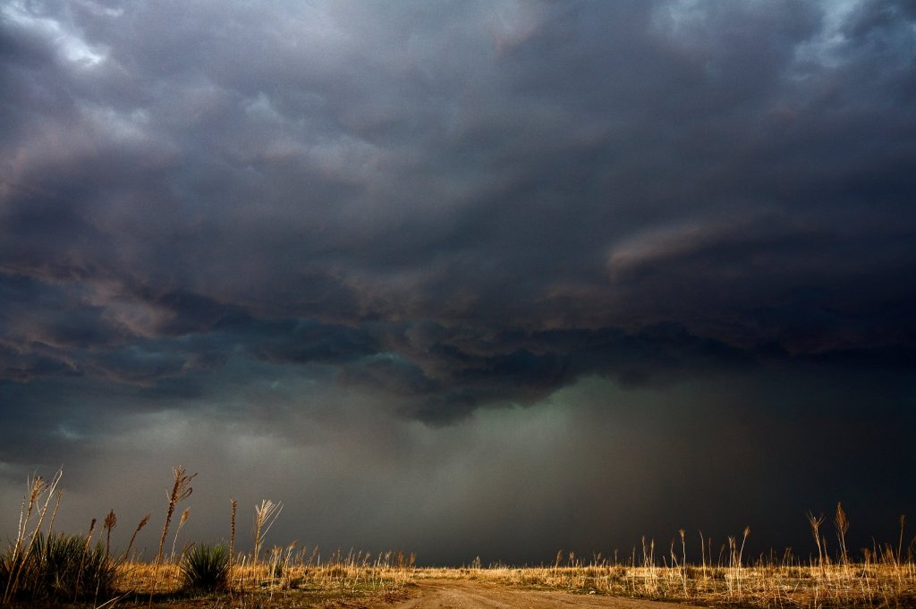
The Great Downpour, Bertha, MN 20 June 2014
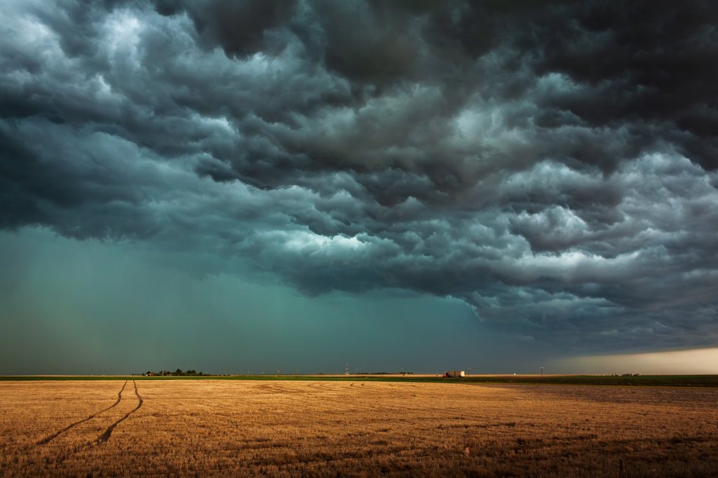
Tracks through the Field, Kansas, USA, May 2008
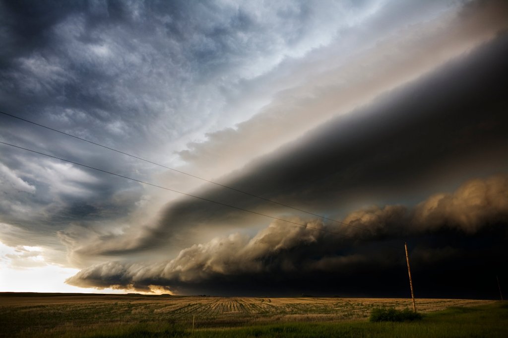
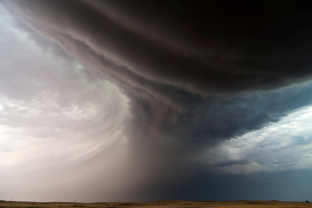
The Collapse III – South Dakota, USA, June 2008
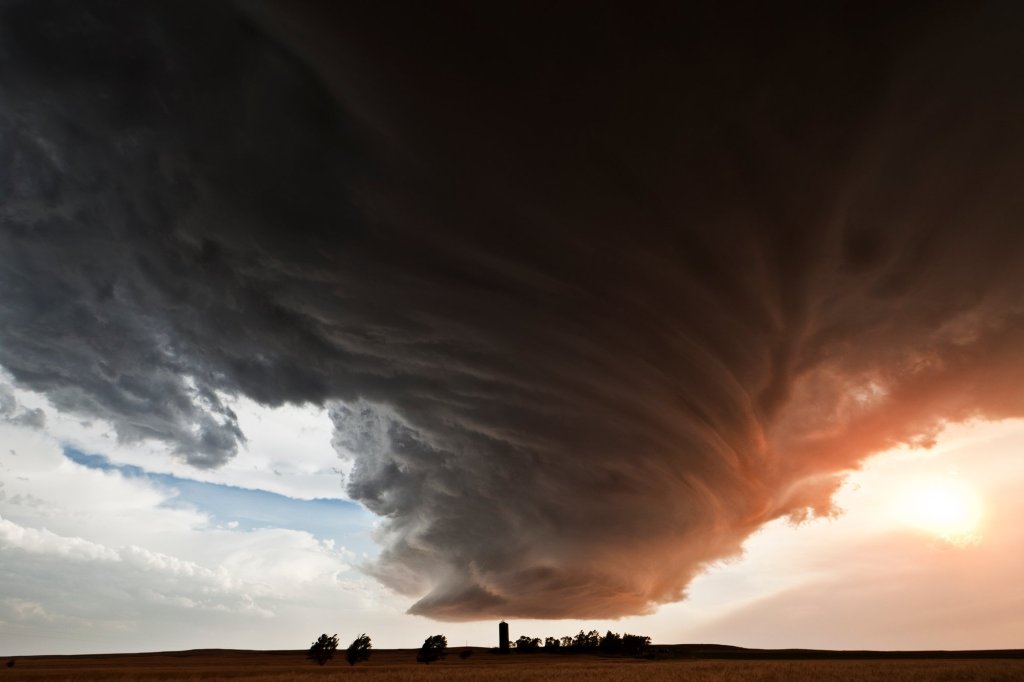
The Lovely Monster over the Farm, 19:15 CST, Lodgepole, Nebraska, 22 June 2012
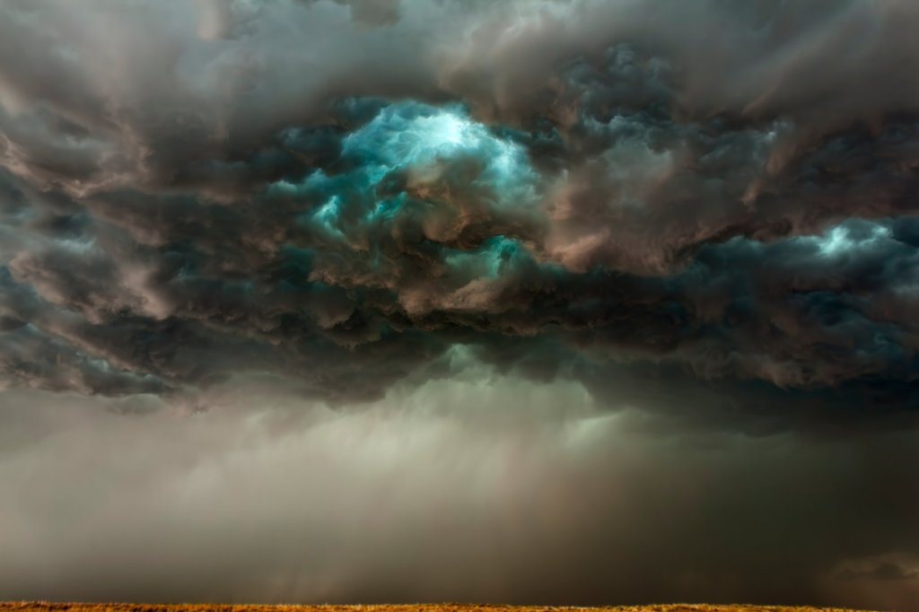
The Blue Eye II (H), Kansas, USA, May 2008
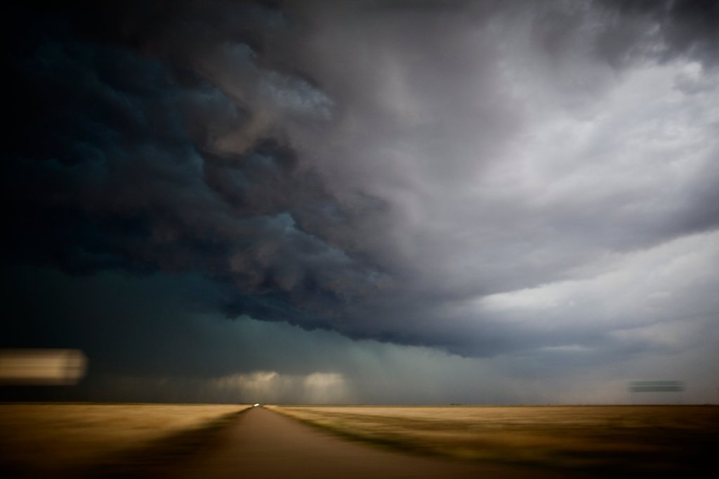
Chasing The Storm – Kansas, USA, May 2008
Inflow Bands 19:55CST Chappell NE, 22 June 2012
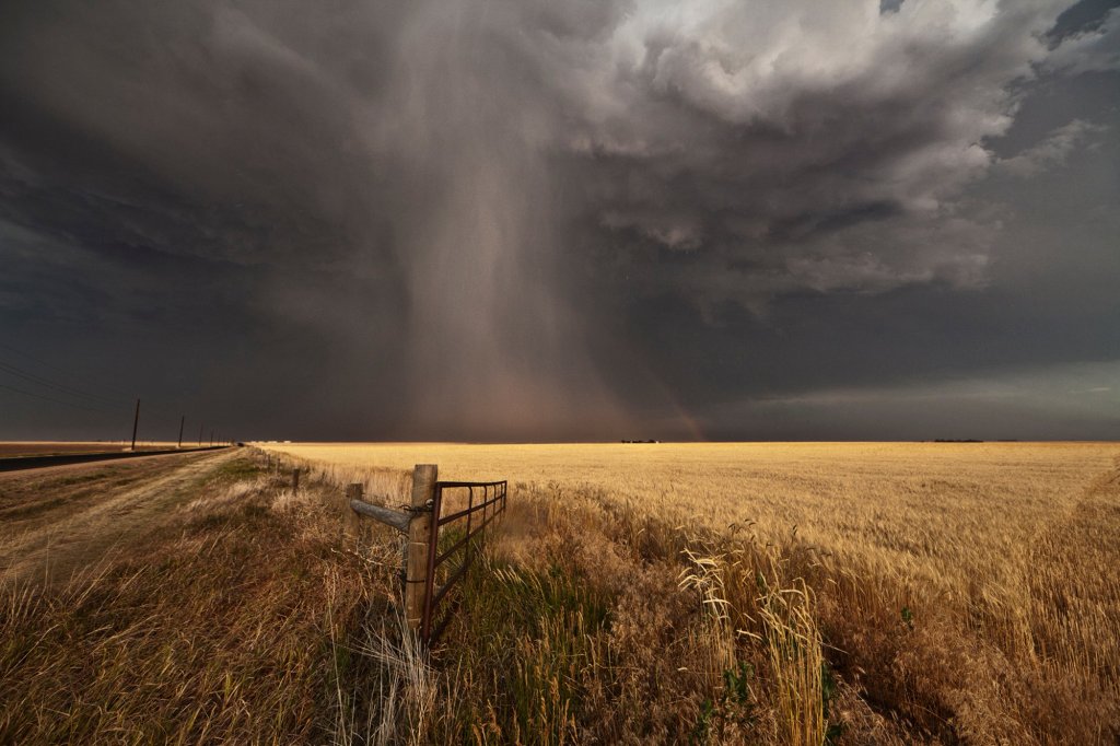
Hail Shaft With Hailbow 18:35CST Gurley NE, 22 June 2012
Looking for Rotation (H) – Kansas, USA, May 2008
[All photos © Camille Seaman]

Leave a comment