Parkland Walk, for those who don't know the area, runs up to Highgate on the old Northern Heights suburban railway line from Finsbury Park to Alexandra Palace. If you don't mind some steep climbs at the end, it's the best way up to Hampstead and the Heath by bike. Haringey Council, bless 'em, are currently engaged in an "ecological mitigations strategy" to improve the surface and the drainage; under the control, perhaps, of an Ecological Mitigations Strategy Coordinator.
This is Crouch Hill Recreation Centre:

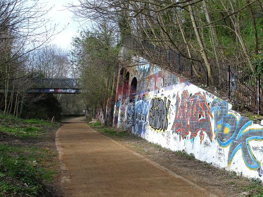
And here's the track (nice and smooth: this section has already been ecologically mitigated) heading in to what used to be Crouch End station. The current display on the right maybe lacks the impact of the eagle woman, but never mind:
So, past the spriggan, past the tree with the exposed roots:

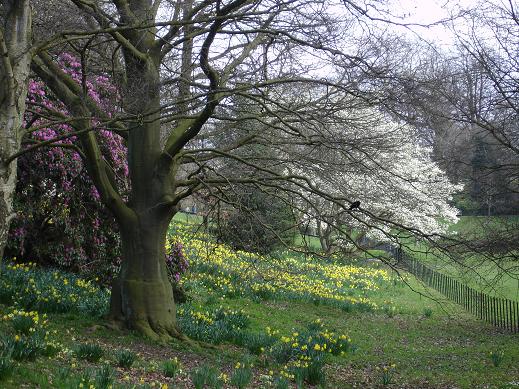
and on up to the Heath:
There's an exhibition in the orangery at Kenwood on photographer John Gay which is worth a visit (it's free). This is the last week. Here's a selection of some of his photos, mostly of an England just post-war. Like Nikolaus Pevsner he was a German who came here in the Thirties (he was born Hans Gohler), and, perhaps because of that, was able to capture the English people and the English landscape with an unjudgemental warmth and affection that somehow English-born artists – unless they're John Betjeman - feel they have to deny themselves if they're to be taken seriously. I'll admit that I hadn't heard of the man before, but the English Heritage book which goes with the exhibition is a delight.

Leave a comment